Moqua Well
Appearance
| Moqua Well | |
|---|---|
 | |
| Location | Yaren |
| Coordinates | 0°32′48″S 166°55′12″E / 0.5466°S 166.920°E |
| Type | underground lake |
| Basin countries | Nauru |
| Surface area | 2,000 m2 (0.49 acres) |
| Average depth | 2.5 m (8 ft 2 in) |
| Max. depth | 5 m (16 ft) |
| Surface elevation | 5 m (16 ft) |
The Moqua Well is a small underground lake, in Nauru.
History
[edit]During World War II, Moqua Well was the primary source of drinking water for inhabitants of Nauru.[1] It is for this reason that the body of water is referred to as a well instead of a lake.[2]
In 2001, Nauruan authorities decided to put up a fence to prevent accidents, after an alcohol-related drowning in the same year.[1][2]
Location
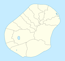
[edit]The well is located below the Yaren district. The Moqua Well is not well known, one of a few attractions in Nauru.
Linguistic disambiguation
[edit]The name of the well 'Moqua' (sometimes referred to as 'Makwa') is derived from the former name by which Yaren was known.
Other feature
[edit]Nearby are the Moqua Caves, a series of caves below Yaren.
References
[edit]- ^ a b "Moqua Caves and Moqua Well", Gatis Pāvils, 30 October 2011.
- ^ a b "Nauru – Attractions", iExplore.
See also
[edit]

