Wikipedia:WikiProject German districts/Maptemplates
Appearance
MAP TEMPLATES
If you need a map for the WikiProject German districts, you should use one of these templates. We still have to decide the colour of the district to be highlighted. Please refer to the talk page.
Working on the maps:
- Highlight the district in the colour #A86C00 (RGB 168,108,0)
- Scale the map down by 70%
- The file name shall be "(state)_(car abbreviation).png", e.g. thueringen_abg.png
- Upload and include the map
Baden-Wuerttemberg
[edit]Bayern / Bavaria
[edit]Brandenburg
[edit]Hessen / Hesse
[edit]Niedersachsen / Lower Saxony
[edit]Mecklenburg-Vorpommern / Mecklenburg-Western Pomerania
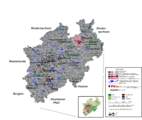
[edit]Nordrhein-Westfalen / North Rhine-Westphalia
[edit]Alternativ version (vector graphics, better quality, simple editing):

Note: this old version is corrupted. It doesn't display the adminiatrative border correctly in Cologne/Düsseldorf area:
Rheinland-Pfalz / Rhineland-Palatinate
[edit]File:Rhineland-palatinate template.png
Saarland
[edit]Sachsen / Saxony
[edit]Sachsen-Anhalt / Saxony-Anhalt
[edit]File:Saxony anhalt template.png


